Farrington Highway Corridor Study
Farrington Highway Corridor Study – COMPLETED MARCH 2021
Project Information
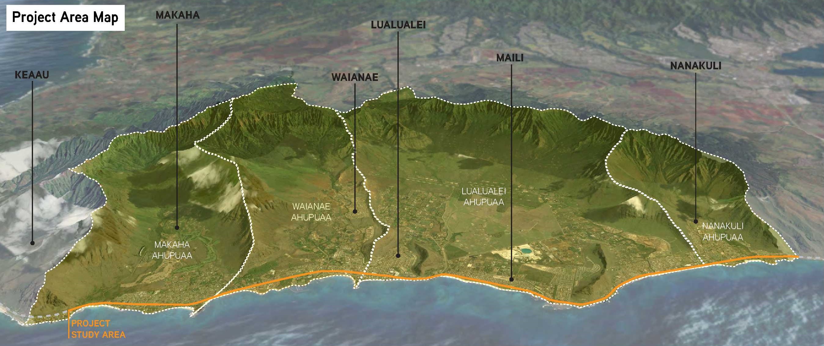
The Hawaii Department of Transportation (HDOT) Highways Division has conducted a study to determine the long-term vision and management for Farrington Highway Corridor between Nanakuli and Makaha. The study analyzes and identifies short-term (6 months – 2 years) and long-term (2 to 20 or more years) multimodal solutions that address safety, traffic congestion, and resilience. The study was completed with multiple community engagement points, summarized below. The study should be referenced and considered when programming future safety, congestion, and resiliency improvements on Farrington Highway (Route 93) and through its corridor.
Click HERE to view the Farrington Highway Corridor Study FINAL REPORT (March 2021)
Click HERE to review a summary of the input we have received from the online Interactive Map and online Survey.
3 Rounds of Aina Meetings – Summaries.
Waianae – February 20th Meeting Summary here (pdf file 3.54 MB)
Nanakuli – February 24th Meeting Summary here (pdf file 3.78 MB)Round 2 – Meeting to report survey results and identify preliminary solutions
To view the short PPT that was shared during both meetings, click HERE.
Round 3 – Meeting to present draft recommendations and discuss priorities and phasing.