What’s New for Highways

Highways Project Map HDOT-CFLHD Partnership Projects Statewide Transportation Improvement Program (STIP) Stategic Highway Safety Plan Rideshare Safe Communities Program Transportation Asset Management Plan (TAMP)

Current Spotlight

HDOT Highways Program Status Maps
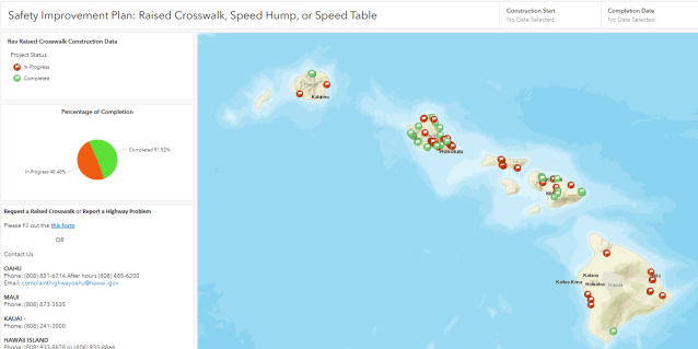
View all state highways program data including current & future projects scheduled to begin in the next two years. Available data also includes Average Annual Daily Traffic counts and pavement conditions for state routes.

Community Presentations
DOT’s presentations from recent community meetings statewide are available. Click on the link above to see what projects are planned in your area.

Statewide Traffic Fatalities
We are including the year-to-date traffic fatality figures by county on our Safe Communities page to raise awareness. This will be updated weekly.

Islands

GoAkamai Traffic Info

GO Akamai, photo of map app on a mobile phone

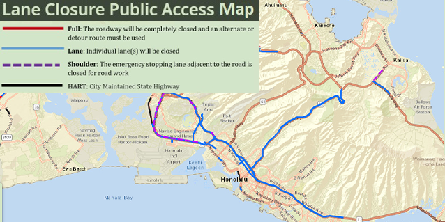
Want to check the traffic before you leave home or work? Use GoAkamai.org to see the current conditions on Oahu's freeways and highways. Now available for iOS and Android devices.
Read More GoAkamai Traffic Info

HDOT-CFLHD Partnership Projects

HDOT-CFLHD Partnership Projects

HDOT has partnered with USDOT's Central Federal Lands Highways Division (CFLHD) to deliver ten bridge and other highway projects throughout the islands. Click here for more details.

Read More HDOT-CFLHD Partnership Projects

Hawaii Strategic Highway Safety Plan

Hawaii Strategic Highway Safety Plan

Our mission is to save lives & reduce injuries on Hawaii's roadways. Working together, we will reduce yearly fatalities from 100, to 80 or fewer, toward the ultimate goal of zero deaths.

Read More Hawaii Strategic Highway Safety Plan